Cap de ses Salines is the southernmost point of the island and looks the part: low scrub, white limestone, the lighthouse in the middle. Built in 1863, still in operation, unremarkable from the outside, 41 meters above the sea. On clear days you can see the silhouette of Cabrera at the horizon, around 10 km south.
Getting there: from Santanyí or Ses Salines you take the Ma-6100 until it ends. The last 4 km is a narrow road through scrub and a few sheep fields, sometimes sheep on the road. You can park on the gravel lot at the lighthouse, free. Full in summer, half empty in spring and autumn.
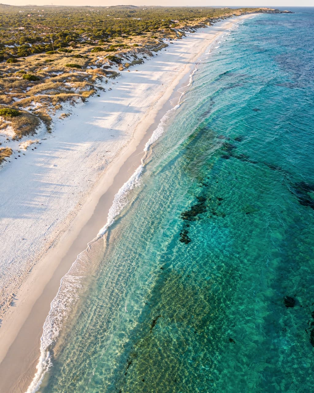
The point itself is seen in 10 minutes. What pays off is one of the coastal hikes that start here. Northwest to Platja des Caragol you walk half an hour, a flat fine-sand beach that is never crowded. East to Cala Màrmols it is around 5 km one way, so 3 hours round trip, more demanding, over rocks and dunes, at the end a turquoise cove only reachable on foot.
Wind is almost always an issue here. In April and October it can get uncomfortable despite the sun, bring a windbreaker. In summer the opposite: no shade, no water on the way, fill two bottles before you start. On the parking lot there is sometimes a food truck with coffee and a bocadillo, but do not rely on it.